BOGOTA — “Our grandparents knew our territory well, its sacred and productive places, but also the risks we assumed if we did not use resources appropriately….”
These are the words of José Zafiama, a teacher of the Uitoto indigenous people and member of the Azicatch Indigenous organization, which brings together peoples in the Predio Putumayo Indigenous Reserve, the largest in the Colombian Amazon. “Part of their ancestral wisdom remained with them and was either not documented or was difficult to translate into a language that would allow us to defend our territory and make decisions,” Zafiama continued. “Today we have found out how to access that information.”
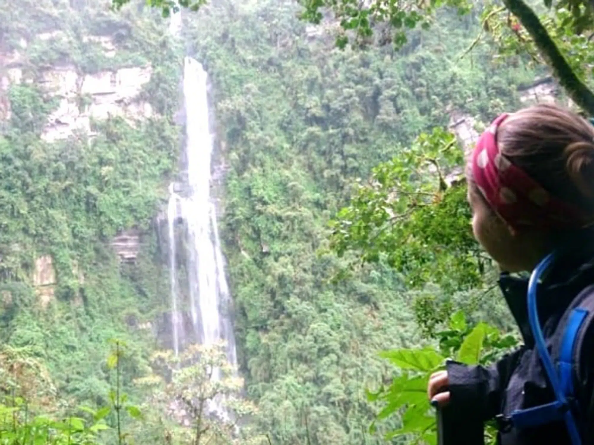
The teacher and activist has recently revealed results for the first ecosystem services analysis in his territory, which can become a key tool for the sustainable development of other indigenous peoples in the Amazon. How did they carry out this analysis and create a technical guide to serve similar processes? Reaching La Chorrera is not easy. A flight runs only every two weeks and seldom follows a set itinerary, while the alternative boat trip can take more than 15 days from the nearest city. Nevertheless, a team led by WWF and Fundación Puerto Rastrojo traveled regularly to the region for almost an entire year to train an indigenous technical team that could advance this initiative.
The objective was to create a pilot project for the evaluation of ecosystem services from an indigenous viewpoint, to both analyze the risks of deforestation and the loss of ecosystem services, as well as strengthen indigenous communities’ governance. The result is a complete guide showcasing the methods used and the results obtained during its application in La Chorrera.
Chela Umire, one of the women from the Muinane people who participated in the process, said she was sceptical at first: “We never thought we could learn something like this. At first everything seemed complicated, but we eventually learned how to use a GPS, to understand maps and find specific places, and to comprehend the size of our territory.”
Young and elderly women and men representing four indigenous peoples formed part of the team, contributing knowledge of the territory and ecosystem.
This process allowed us to become close to our grandparents again.
“This process allowed us to become close to our grandparents again, while preserving traditional wisdom and complementing it with Western elements,” says José Miller Teteye, another member of the team from the Bora people. “We know our territory, but we knew very little about it technically and got to learn about it.”
This pilot project is one of the achievements of the REDD+ Indígena Amazónico initiative, RIA, which seeks to promote the integration of an indigenous viewpoint in conservation policies and REDD+ programs implemented in Amazonian countries like Peru, Colombia, and Ecuador. Amazonian Indigenous peoples’ vision of their territories is vital to facing the current climate challenge and supporting governments in the implementation international commitments like the Paris Agreement.
More than half of Colombia’s Amazonian forests are inhabited by indigenous communities, but until now it had been difficult for them to both identify and characterize the ecosystem services that make up the enormous value of their forests and to participate in processes to protect these services and make them visible. The Chorrera pilot project opens a door to show that the forests they inhabit serve purposes that go way beyond carbon storage.

La Chorrera is also the setting of one of the most painful pages in Colombia’s indigenous history. During the early twentieth century it was one of the epicenters of the rubber boom that resulted in the genocide of more than 30,000 Indigenous People, recalls Tirso Candre, leader of the Ocaina indigenous people,
“Indigenous peoples have conserved forests because forests are like our mother,” Candre says. “It is very important for us to keep taking care of productive spaces and sacred places, and this project is a tool to protect our territory, to make decisions. We want to keep conserving the forest, and now we have more information to do so.”
And their voices have traveled far. Representatives of the indigenous technical team have shared the pilot project’s results not only with neighboring communities, but also in international settings like the United Nations Framework Convention on Climate Change.

