NEW DELHI – In 2012, out of the millions of people displaced by natural disasters around the world, over a quarter were from northeast India. Almost nine million inhabitants were forced to flee the region’s devastating monsoon.
These forced displacements are a common occurrence. Floods have become so routine in Assam, a state located at the foothills of the Himalayas, irrigated by one of the world’s mightiest river – the Brahmaputra – that a special administrative post was created to deal with natural disasters. “Most flood victims flee to temporary shelter and wait for the water to flow back, then they just go back home, it’s the same thing every year,” explains Harendra Nath Borah, the functionary in charge of natural disasters.
The monsoon was particularly intense in 2012. And the severity of flooding could increase in the next few years under the effects of global warming and the because of the construction of new infrastructures near the Brahmaputra, which put the lives of millions at risk.
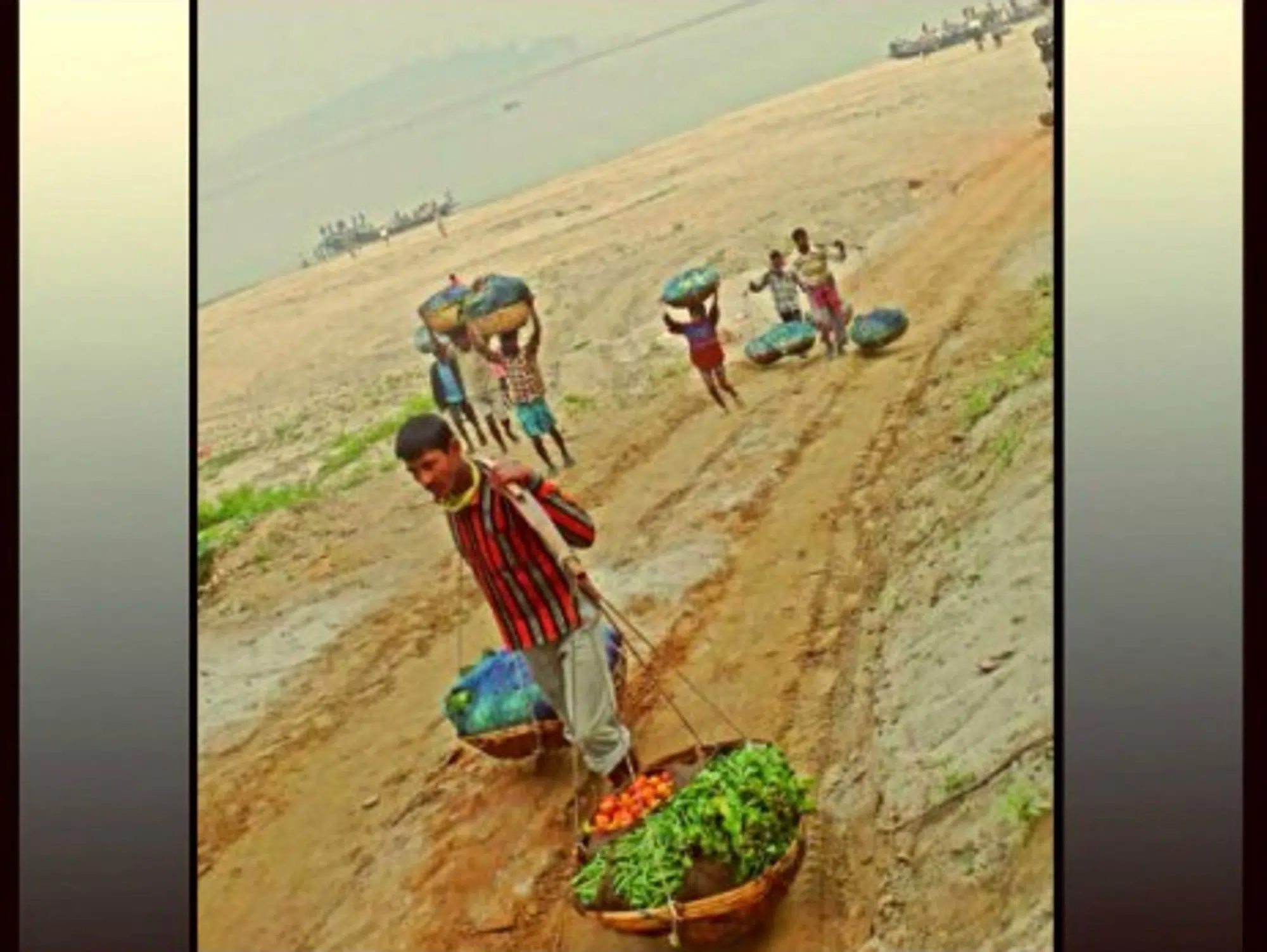
Swollen by the monsoon rains, this 2,900 kilometer-long river that takes its source in Tibet and flows through India and Bangladesh all the way to the Bengal Gulf is the reason why the region is unsafe. Legend has it that the river was born of one of Hindu God Vishnu’s incarnations who, after having murdered his mother, washed away his sins in a lake. That alone is enough to induce fear into the hearts of local inhabitants, who even call the river “blood” in the Assam idiom. It can become over 13 kilometers wide, and its flow is one of the fastest in the world. But between two monsoons, its land is so fertile that it attracts many farmers. Given the high demographic pressure, more and more people are looking to settle there permanently.
“The construction of infrastructures on land that belongs to the river increases the risks of severe flooding in areas that used to be spared until then,” explains Ashvin Gosain, professor at the New Delhi Indian Institute of Technology. During the monsoon, the buildings prevent the soil from absorbing the water and divert the stream, sometimes a little too impetuously, toward populated areas. When that happens, it turns into a devastating flood.
Deforestation along the river also promotes the deposit of sediments. The Brahmaputra overflows more frequently and its banks are disappearing as a result of erosion. According to Indian Minister For Water Resources Harish Rawat, 1,850 Indians drown each year because of the floods.
The surface area of the largest river-island in the world, Majuli, on the Brahmaputra, has lost half its size to erosion since 1950. Most of its inhabitants now live in bamboo huts on stilts, which are easy to rebuild after each flood. Others have already left the region.
Mountain tsunamis and broken levees
Experts fear that the floods are going to continue to get worse over the next few years because of global warming. In the heights of the Himalayas, the glacial lakes, which are fed by melting glaciers, threaten to overflow the natural levees that were containing them. At the slightest earthquake and pressure of the water, their walls could give, creating “mountain tsunamis” strong enough to wipe out everything in their path. Satellite photos show at least 320 glacial lakes in Sikkim, an Indian state located in the Himalayas. The populations living in these high-altitude regions are the most vulnerable.
A rise in temperatures could also lead to more intense monsoon precipitations. “In some regions, increases in heavy precipitation will occur despite projected decreases in total precipitation in those regions,” wrote the Intergovernmental Panel on Climate Change (IPCC) in its 2012 special report.
A report by the Indian Ministry of Environment and Forests goes even further. The report says “all the regions show an increase in the flooding varying between 10 to 30% of the existing magnitudes. This has a very severe implication for the existing infrastructures such as dams, bridges, roads, etc, for the areas, and shall require appropriate adaptation measures to be taken up.”
If the floods worsen, the Indian government will need to engage in a daunting task: to consolidate and resize the many dams of the Brahmaputra. Another solution would be to dig canals and reservoirs by the river to absorb the flow, store water and reduce the risk of destructive floods
The room for manoeuver is limited. India is not the only country that wants to regulate the flow of this river, which takes its source in China. In addition, any intervention on the Brahmaputra has the effect of changing the direction and power of the current as well as the sediment transportation and ultimately the downstream route of the river. Not to mention the fact that during monsoon season the flow of the river reaches 50,000 cube-meters per second, and can hardly be contained.
“Such a force of nature cannot be tamed by man. It is better to adapt by first reducing the residential areas around the Brahmaputra,” says Professor Gosain. The Indian government is aware of the risks to the population. In 2006, it created an authority tasked with the management of natural disasters, which launched a flood warning system.
Though it might have little power to limit the number of people displaced by Climate Change, India can at least start by saving lives.
