Since June, it is possible to witness the extent of deforestation, in quasi-real time, with just a few clicks. This is thanks to Terra-i, the first satellite deforestation detection and surveillance tool in Latin America.
Presented at the Rio +20 conference, Terra-i is based on calculation algorithms bio-inspired and developed at the Vaud School of Business and Engineering in Switzerland. A similar program already exists in Brazil, but this new computer tool will enable smaller countries to easily track the evolution of their forests.
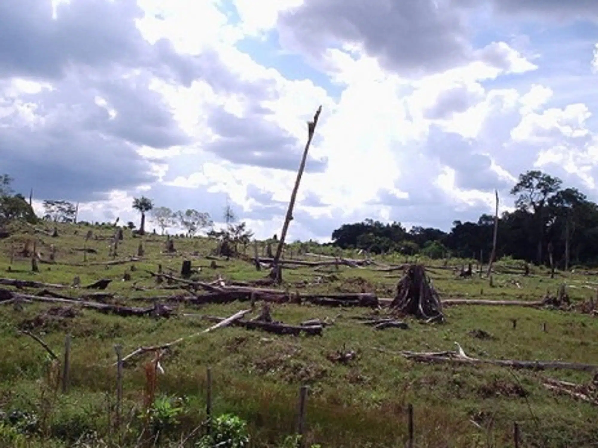
Expanding livestock farming and agriculture, increasing urbanization, illegal trafficking… The deforestation in South America, despite a slight decrease in certain countries, has endured in the past 20 years. Monitoring it is of crucial importance for whoever wishes to evaluate and anticipate its already perceptible impacts on biodiversity, on nature’s ecological benefits and on the climate.
Brazil has been doing so since 2008 on its whole territory thanks to a satellite detection system called Deter. Like Deter, Terra-i is based on the use of images taken by Modis sensors on NASA satellites, but is more performing: it enables the analysis of the terrain with a resolution of 250 square meters on the ground every 16 days over all of South America.
Complex algorithms
Developed in part by computer scientists at the Vaud School of Business and Engineering, the algorithms used by Terra-i approximate how much of a region is covered by plants depending on the seasonal trends and the precipitation data.
“This computer system uses nerve cells that are capable of learning from their errors by themselves,” says Professor Andres Perez-Uribe. “Starting from data collected between 2000 and 2004, we trained them to recognize changes in natural vegetation which are linked to the season, and to distinguish atypical and sudden modifications that we attribute to human deforestation.” The models had to be adjusted to take cloud cover or obstacles like rivers into account.
Once collected, the satellite information is processed by servers at the International Center for Tropical Agriculture (CIAT) in Colombia – one of the partner organizations, like the King’s College in London – and finally appears as maps that are available online for free via Google maps.
That is the point. “In the three weeks that followed the launch of this new tool at the end of June, we had nearly 5,000 connections on the Terra-i website,” says Louis Reymondin, who brought the project to CIAT. “10 percent of them were downloads of calculation data by people from the academic world such as researchers, doctors or students.”
But this service is dedicated to practical uses more than anything else, says the computer scientist. “Terra-i can be very useful to analyze impacts on the environment, and to see how deforestation influences water flow and the availability of drinking water, or to determine the efficiency of some conservation policies.”
Real-time monitoring
The CIAT researchers found “remarkable” results when they tested their tool. They showed that in the Caqueta region in Colombia, deforestation went from approximately 4,880 hectares in 2004 to 21,440 hectares in 2011, which represents a 340 percent hike. Gran Chaco in Paraguay is the second largest forest area in South America, and Terra-i determined that over a million hectares had been cut down between 2004 and 2010.
“But what is really interesting is how our data is “quickly” refreshed every 16 days,” says Louis Reymondin. “We can almost follow certain deforestation processes – like when a road is built – in real-time.
Another advantage is the reactivity we then have: we can warn authorities very quickly when we see that an illegal deforestation is taking place in a natural park or a protected area, like the Chiribiquete National Park in the Colombian Amazon, which is closely monitored by Terra-i. Between 2010 and 2011, the deforestation rate in the buffer zones of this park has nearly doubled.
Now that the surveillance of Latin America is on track, Terra-i’s developers are seeing big and are thinking of extending their system to all tropical forests, including in Asia and Africa. Excluding the obvious financial constraints, other difficulties are expected.
The computer scientists will have to adapt their algorithms to take into account the importance of Asian monsoons, of African droughts or of fragmented deforestations, which, contrary to the Amazon, are perpetrated by small farmers in very dispersed areas.
