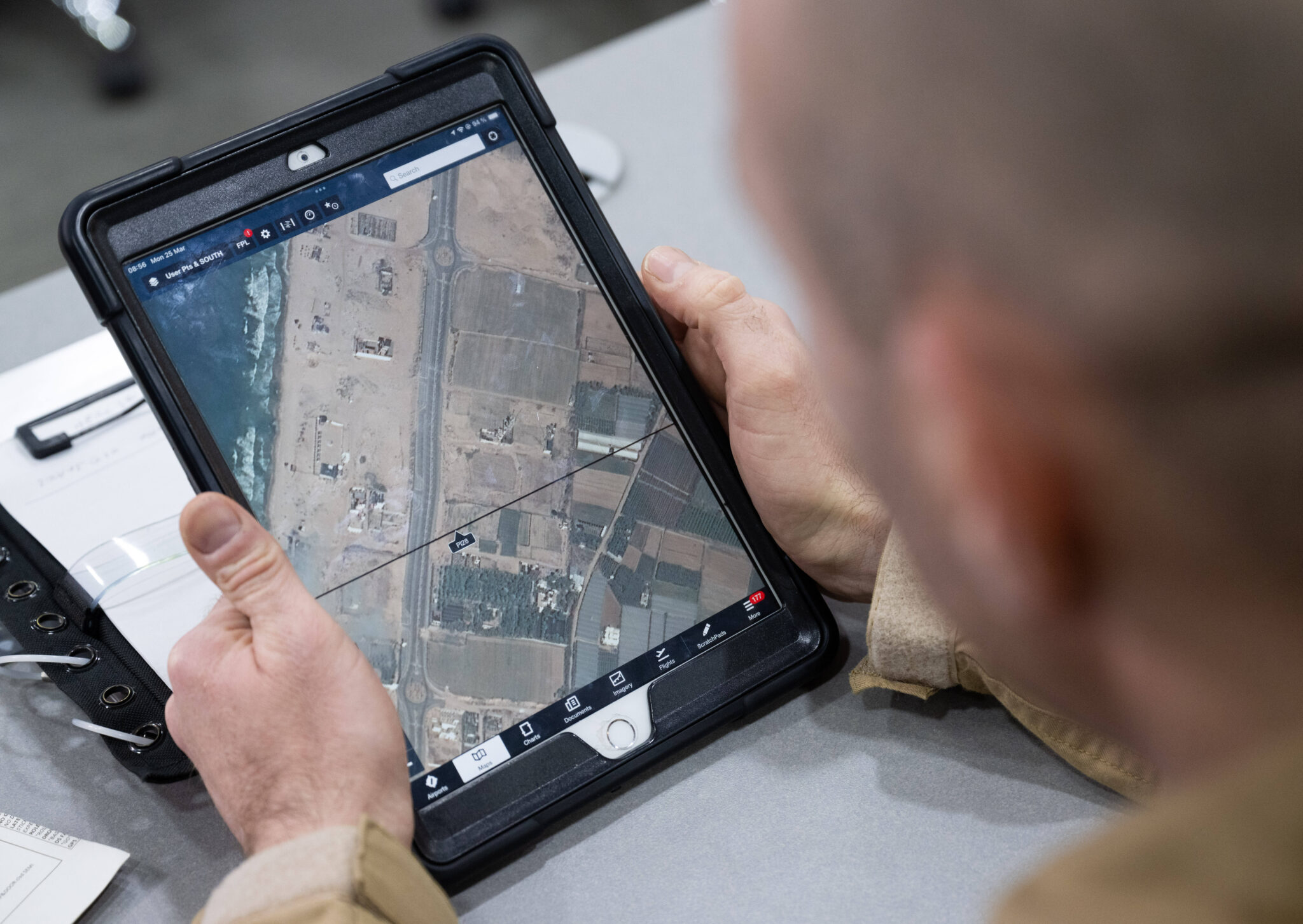
In Gaza, Geographic Information Systems (GIS) — which collect, store, analyze, manage and display geographic data — are helping various organizations to distribute aid, track patterns of violence and destruction, and preserve collective memory.
In Gaza, Geographic Information Systems (GIS) — which collect, store, analyze, manage and display geographic data — are helping various organizations to distribute aid, track patterns of violence and destruction, and preserve collective memory.